
A corridor is a chain, not one highway
Uganda relies heavily on regional routes to reach seaports and neighbouring markets. The Northern and Central Corridors are commonly discussed as major trade systems, but their performance depends on far more than the trunk carriageway. Border procedures, ports, weigh controls, town junctions, bridges, rest facilities, logistics yards and digital systems all affect the movement of goods.
The local connection matters just as much to a farmer, manufacturer or trader. Produce may travel first on a community access road before reaching a district road and then a national corridor. If that first section becomes impassable, an improved highway cannot recover the lost market access. Infrastructure planning should therefore consider the complete trip and identify the bottleneck whose improvement produces the most reliable service.
Measure outcomes people experience
Kilometres completed and money spent are useful delivery measures, but they do not fully describe value. Planners can also examine journey reliability, days of all-weather access, freight damage, safe walking, access to schools and health facilities, maintenance response and the condition of drainage. Baseline data is necessary if a later improvement is to be attributed responsibly to a project.
Claims about jobs, trade or property values should be sourced and should distinguish correlation from causation. Road investment can create opportunity, yet outcomes also depend on transport services, market information, production capacity and border efficiency. A balanced appraisal considers who gains, who faces land or safety impacts, and what complementary action is needed.
Choose resilient links and maintain them
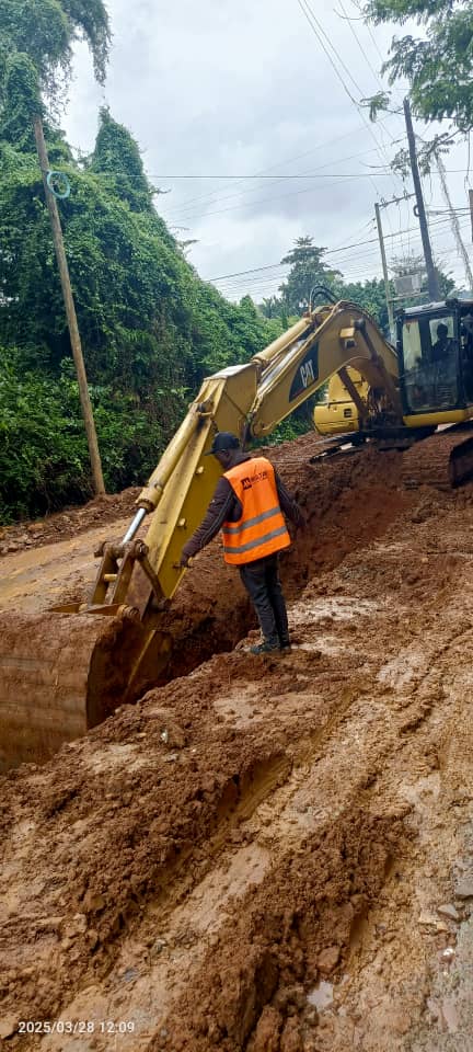
For low-volume roads, spot improvements at flood crossings, steep sections and weak soils can sometimes protect access more efficiently than applying the same treatment everywhere. The appropriate choice still requires survey, traffic information, hydrology, materials investigation and economic assessment. Drainage and safe crossings deserve priority because a short failed section can sever a much longer route.
- Map production centres and essential services alongside traffic counts.
- Coordinate road improvements with bridges, markets and border facilities.
- Design for maintainability using locally serviceable solutions where technically suitable.
- Protect road reserves and drainage outlets from avoidable obstruction.
- Fund routine and periodic maintenance before defects become reconstruction.
Plan across boundaries while staying accountable locally
Regional connectivity requires coordination among national agencies and neighbouring states, but construction happens in specific communities. Engagement, compensation, environmental safeguards, worker safety and local access remain project-level responsibilities. Cross-border importance should not be used to bypass them.
Decision-makers should use current data from Uganda's transport institutions, the East African Community, corridor authorities, statistics agencies and development partners, noting each source date and methodology. Priorities will change as trade patterns, climate risks and settlement evolve. The durable principle is to treat major corridors and feeder roads as one network: connect the last mile, protect the weakest links, maintain what is built and publish evidence of whether reliability actually improved.
A practical appraisal can map a commodity's route from production to border, then record seasonal closures, transfer points, delays and damage at each link. Interview transporters and roadside communities as well as major shippers. This does not replace traffic and economic analysis, but it tests whether the proposed intervention addresses the journey people actually make. After completion, repeat the same measures and publish both positive and unintended effects.
Where data is uncertain, state the gap and build monitoring into the investment instead of converting an assumption into a fact.
← Back to all construction insights